Sport
Vrmdžila, Sokobanja
mitzantic@gmail.com
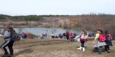
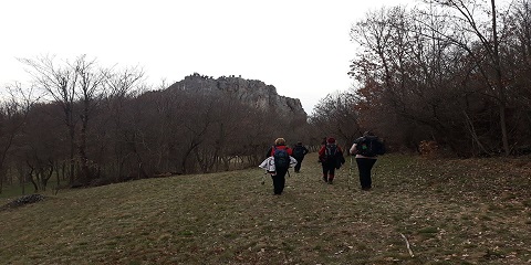
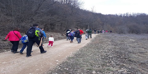
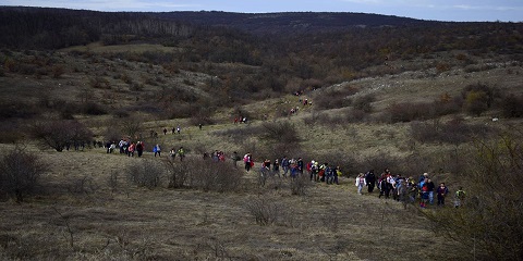
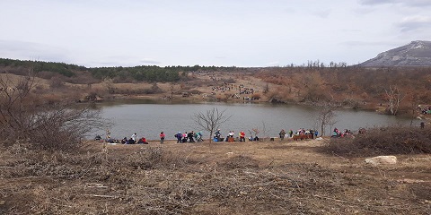
The trail starts on the hill Crkovac (Church of the Holy Trinity) where there is a local museum in Vrmdža. Also, the hill Crkovac is a beautiful lookout point. The trail continues to the north through the village to the school and the Latin town - the rock where the Latin town used to be, known for its beautiful view of the Sokobanja valley. From the Latin town, the road leads along the Vrmdžanska river towards Vrmdžansko lake, located at 610 meters above sea level. From Lake Vrmdžan, the trail leads north to the town of Vasiljevac and then to the highest point of Oblozi, 665 meters above sea level. Oblozi represents the highest point of the hiking trail, a place with a view of the valley of Crni Timok and one of the most beautiful views of the mountain Rtanj. The trail changes direction by 180 degrees and gradually loses altitude, along the way, it passes by the place Mirkov potok (source of drinking water "Čisti kladanac") and continues towards the place Vidikovac. At the top of Vidikovac there is a view of the village of Vrmdža from the northwest. The trail continues to descend and "intersect" the asphalt road where it gradually rises again to the Sokolovica rock, which is also one of the lookouts. After Sokolovica, the trail gradually loses its height to the river Oravica and the gorge Devojački kamen, crosses the Vrmdžanska river and gradually rises to the final point - Latin town. The length of the trail is 15 km. The longer (winding) trail has 389 m of ascent and 407 m of descent. the trail gradually loses its height to the river Oravica and the gorge Devojački kamen, crosses the Vrmdžanska river and gradually rises to the final point - Latin town. The length of the trail is 15 km. The longer (winding) trail has 389 m of ascent and 407 m of descent. the trail gradually loses its height to the river Oravica and the gorge Devojački kamen, crosses the Vrmdžanska river and gradually rises to the final point - Latin town. The length of the trail is 15 km. The longer (winding) trail has 389 m of ascent and 407 m of descent.