Sport
Rtanj Mužinac, Sokobanja
kumastakan82@yahoo.com
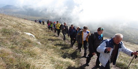
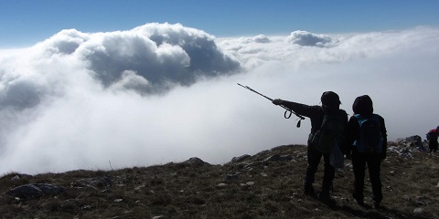
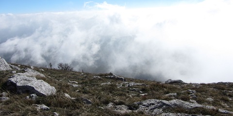
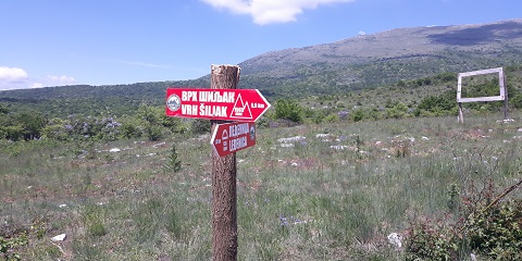
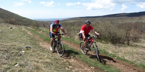
The hiking trail to the top of Šiljak starts at the foot of Rtanj near the place Tomićeva koliba or known as Ledenička Strana (845 m above sea level). The hikers can reach the place Ledenička Strana by a macadam road from the village of Mužinac (6 km). This trail is without springs, so in the beginning, every mountaineer must bring a minimum of 1.5 litres of water. During the entire section of 6 kilometres, the trail has a stone surface where it is replaced rarely by forest or earth surface. From the beginning to the end, it has a constant but gentle ascent to the very top, so it is the easiest trail that leads to the top of Rtanj. Till 1200 meters above sea level, mountaineers do not have a special view of the surroundings but at higher altitudes, i.e. when they are on the Šiljak hill, they can enjoy a beautiful view to the south, i.e. to the Sokobanja valley and mountains south of it. Regarding the condition of the mountaineers, the total ascent time to the top of Rtanj amounts between an hour and a half to two hours. From the top of Rtanj, each mountaineer has a view to four corners of the world, up to 100 kilometres around so that all Rtanj fans can see the mountains in Sumadija, Bulgaria, Romania. The total length of the trail (with return) is 12 kilometres with a height difference of 751 meters.