Sport
Oštra čuka, Sokobanja
+381 64 92 02 909 +381 62 64 222 4
ostracuka@yahoo.com
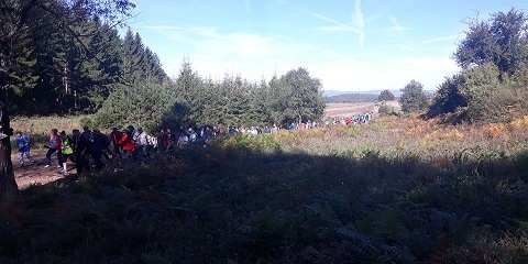
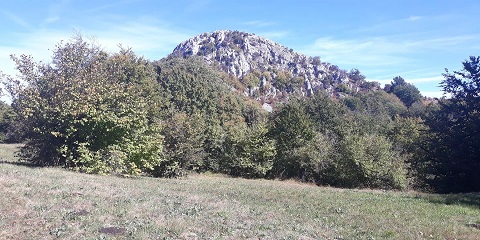
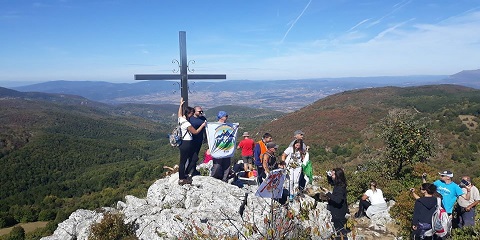
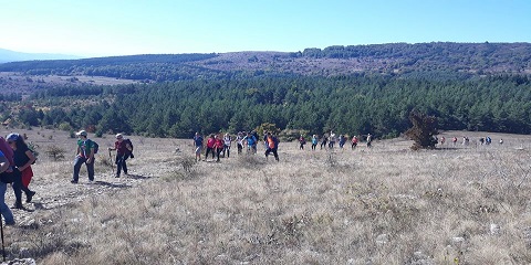
The trail starts at the place "Ozrenske livade" where the road further separates towards the Kalinovica picnic area. After the first kilometre, there is the place Bekčir, where the meadows gradually turn into beech forest, and already at the third kilometre from the start, you reach the Sopur spring (820 m above sea level). After the Sopur spring, the trail continues south through a beech forest to the place Natema (where the asphalt road is crossed) and crosses the mountain Ozren. At the fifth kilometre from the start is the place Venčić (930 m above sea level) from where there is a beautiful view to the south of Serbia. Here, the trail leaves the mountain Ozren and turns slightly east towards the foot of Oštra čuka (west side of the peak) and the very top. Oštra čuka (1075 m above sea level) is located at the sixth kilometre from the start. The top is pyramidal in shape and is only accessible from the east, the other sides are in the form of steep sections. The path from the base to the top has a limestone base but does not pose a great risk. From Oštra čuka there is a beautiful view of the surrounding mountains (Devica, Ozren, Suva planina). The trail continues to the east and turns right towards the main ridge of Virgo, where the meadows gradually turn into a stone (limestone) base. At the eighth kilometre from the start is the peak Aleksin kamen (1100 m above sea level) from where there is a beautiful view to the west of V. Jastrebac, Ozren and Oštra čuka, to the northwest to the Sokobanja valley and Bukovik, to the south and southeast there is a view of Old mountain. Svrljiške mountains, Suva mountain, Vidojevica, Kukavica and Radan mountain.
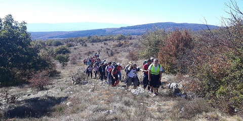
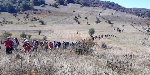
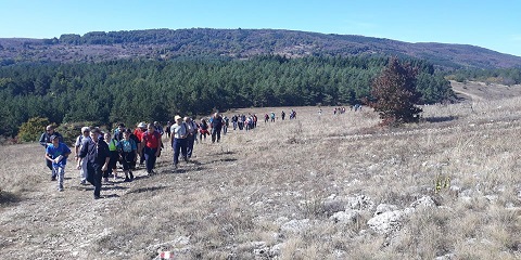
From Aleksin kamen, the road leads further south through the limestone plateau of Device, gentle ascents alternate with gentle descents to the place where the road to Škrapar separates, a limestone stone furrowed by scrapes, attractive for photography. At the eleventh kilometre, there is a separation for the top of Device (Čapljinac 1186 m above sea level). It is about 50 meters from the separation to the top. After the top, the trail passes through sinkholes to the east and then changes direction to the south and passes between the peaks of Čapljinac and Orlovo korito to the Rajčinac plateau (1084 m above sea level) where a view "opens" to the south and the mountains of southern Serbia. The trail descends to the south along the Lešanski del slope to the place Ravnište (960 m above sea level), where the harder and easier trail that leads from Novo Selo join. The plain is located at the fifteenth kilometre from the start. From the place Ravnište, the next four kilometres the road passes through a pine and hornbeam forest to the village Radenkovac and the place Branište (738 m above sea level) where the mountain lodge is located. The length of the trail (in one direction is 17 kilometres with an ascent of 665 meters and a descent of 578 meters.